
Project Details
Survey Type: Land Registry Plans
Client: Residential Client
Location: Christchurch, Dorset
Year: 2026
Survey Type: Land Registry Plans
Client: Residential Client
Location: Christchurch, Dorset
Year: 2026
Baypoint Surveys recently attended a coastal property in Christchurch, Dorset to carry out a detailed land registry survey. The survey was commissioned to support the preparation of updated ownership plans.
To complete this work, the team needed to accurately survey the existing boundaries and the existing jetting structure. The collected data would then be used to produce a compliant Land Registry plan showing the updated extent of ownership for submission and registration.
The client required a precise land registry plan to support the registration of the jetty located along the property’s waterfront boundary.
To complete this work effectively, the survey needed to:
Without accurate boundary and structure data, the Land Registry submission could be delayed or rejected, potentially causing complications with the legal registration of the updated ownership boundary.
Baypoint Surveys attended the site equipped with a Trimble R12i GPS system to carry out a high-accuracy boundary survey.
Using satellite positioning technology, the system was able to connect to 27 satellites during the survey, delivering horizontal accuracy of approximately 15 millimetres. This level of precision comfortably exceeded the requirements needed for a Land Registry plan produced at a scale of 1:500.


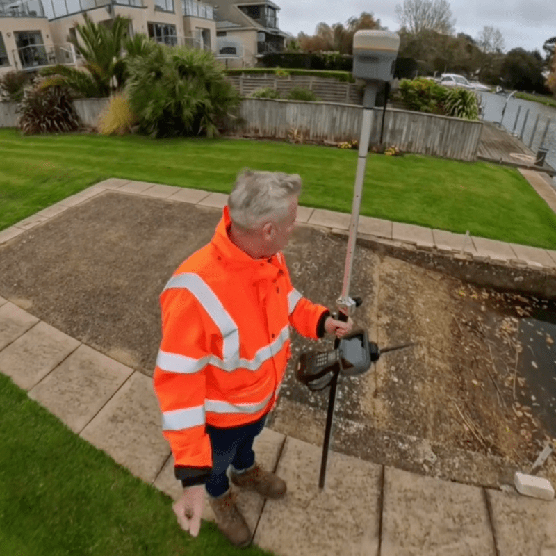
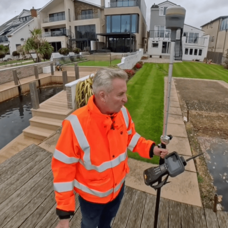


During the survey, the team captured key site features including:
All collected data was recorded on site and processed to generate a clear and accurate plan showing the updated property extent.
Key elements of the survey included:
The resulting plan clearly defines the new extent of ownership and provides the information required for the client to proceed with Land Registry approval.
The completed land registry survey provided the client with a clear and accurate plan of the property boundaries and the jetty.
By capturing the site using high-precision GPS equipment, Baypoint Surveys delivered measurements well within the accuracy required for Land Registry documentation. The finished plan can now be submitted as part of the formal registration process for the updated property ownership boundary.
This project demonstrates Baypoint Surveys’ ability to deliver reliable land registry surveys and accurate boundary data, supporting clients through the legal registration process with confidence and precision.
