
Drone Surveys
Drone Surveys & Surveying Services
Using the latest Commercial Drones, with Lidar and HDR Photography, together with leading edge software, our pilots can measure all types of sites efficiently and accurately. It enables data to be collected on sites that maybe unsafe to survey using traditional techniques or access is limited.
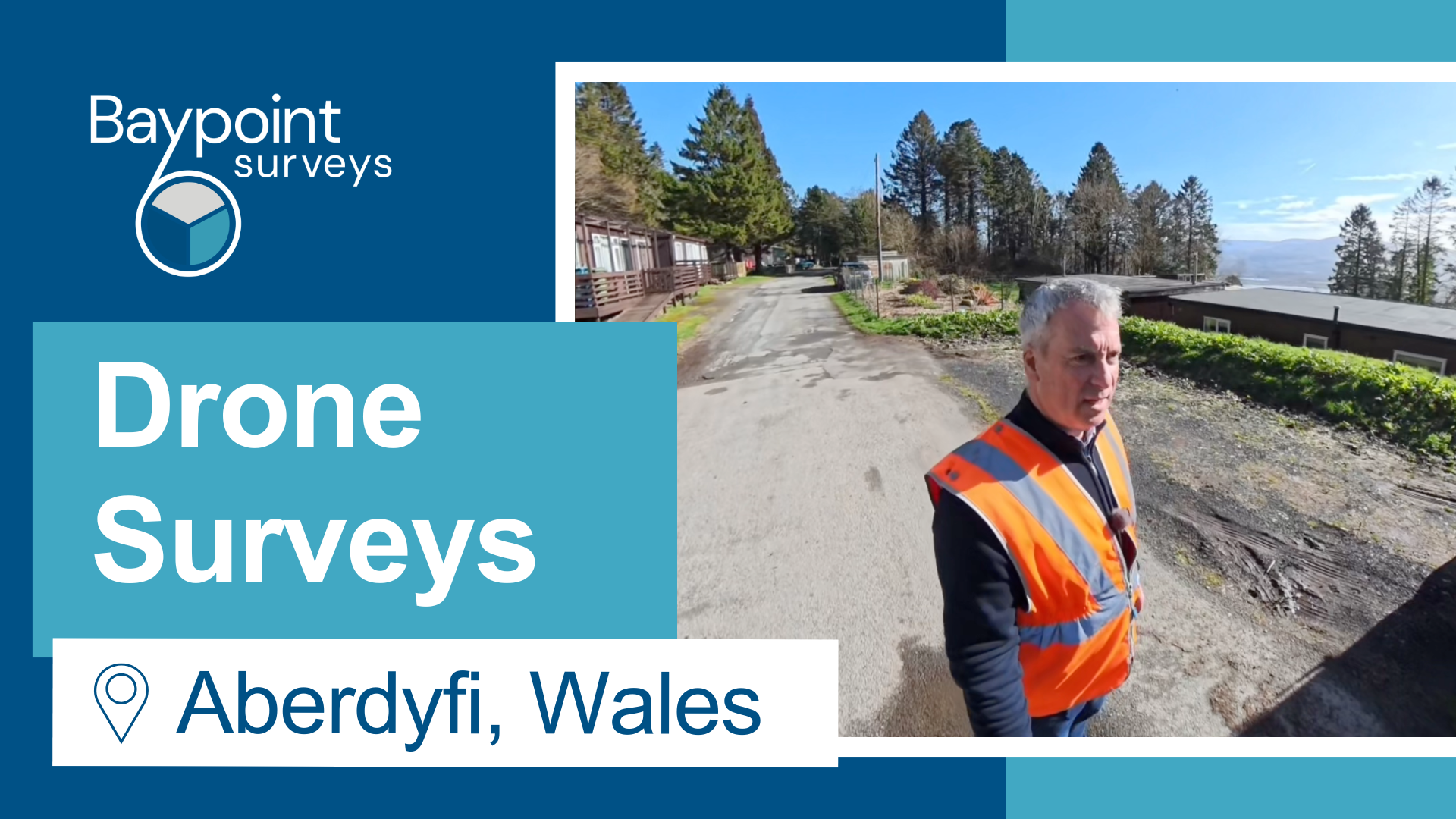

Drone 3D Laser Scans
Our drone surveys have been used for the following projects:
- Capturing 3D laser scans of 800m of coastal cliff faces, for a large coastal erosion project
- Extensive industrial site for new development
- Restoration of old oil well site
- Creating a detail point clouds of inaccessible roof structure on the large disused brewery
With the vast data sets we gathered from the drone, we were able to create, sections, a Land Survey plan, detailed roof plans and restoration plans.
Speak to us about our services
To find out more about Drone Surveys, please speak to our team via our contact page or give us a call today on 01202 301012.
Over the years we have found Baypoint to be extremely accommodating, professional and willing to assist us, providing additional advice whenever needed.
We wouldn’t hesitate to recommend them!”
Projects have included bridge replacement, strengthening and refurbishment schemes as well various rail structures.
We are grateful for their flexibility to resource emergency works and last-minute changes in track access.
We look forward to continuing our working relationship.