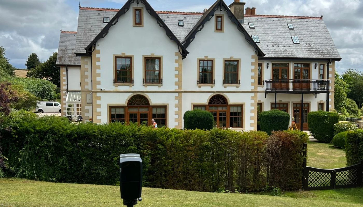
Topographical Survey, Property in Wales
Project Details
Survey Type:
Topographical Survey
Client:
Residential Client
Location:
Wales
Year:
2024
Client Brief
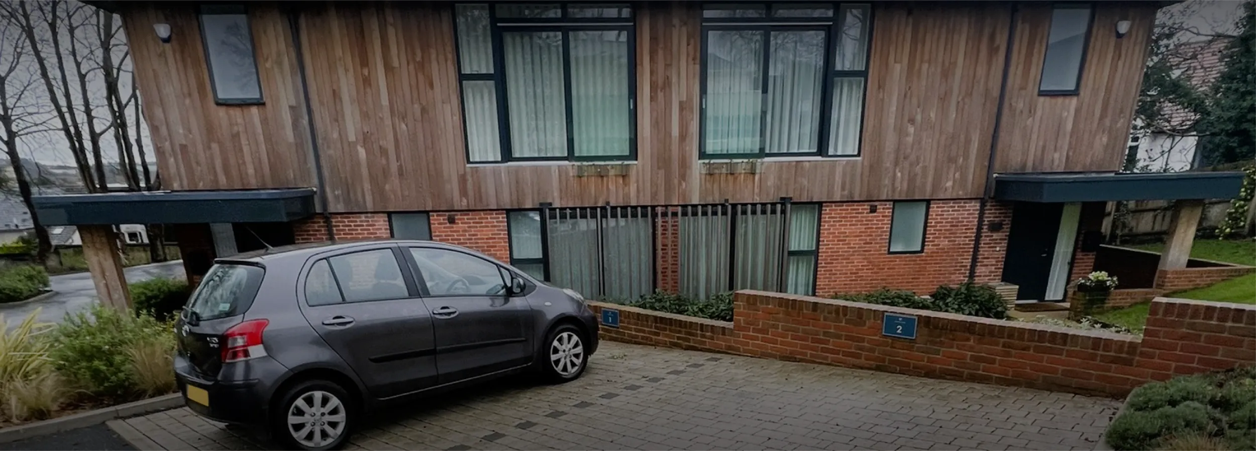
Our client’s property was perched on a hillside in Wales and was prone to flooding. Following several initial meetings with the Civil Engineering Consultants, it was decided that they should instruct a Topographical Survey to form the basis of the detailed design works.
Delivery & Method
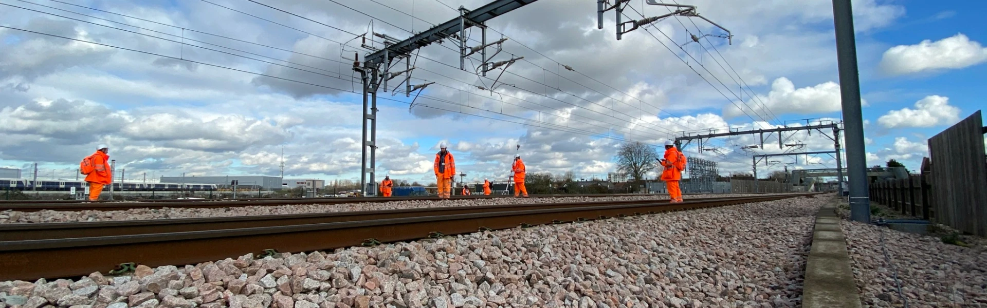
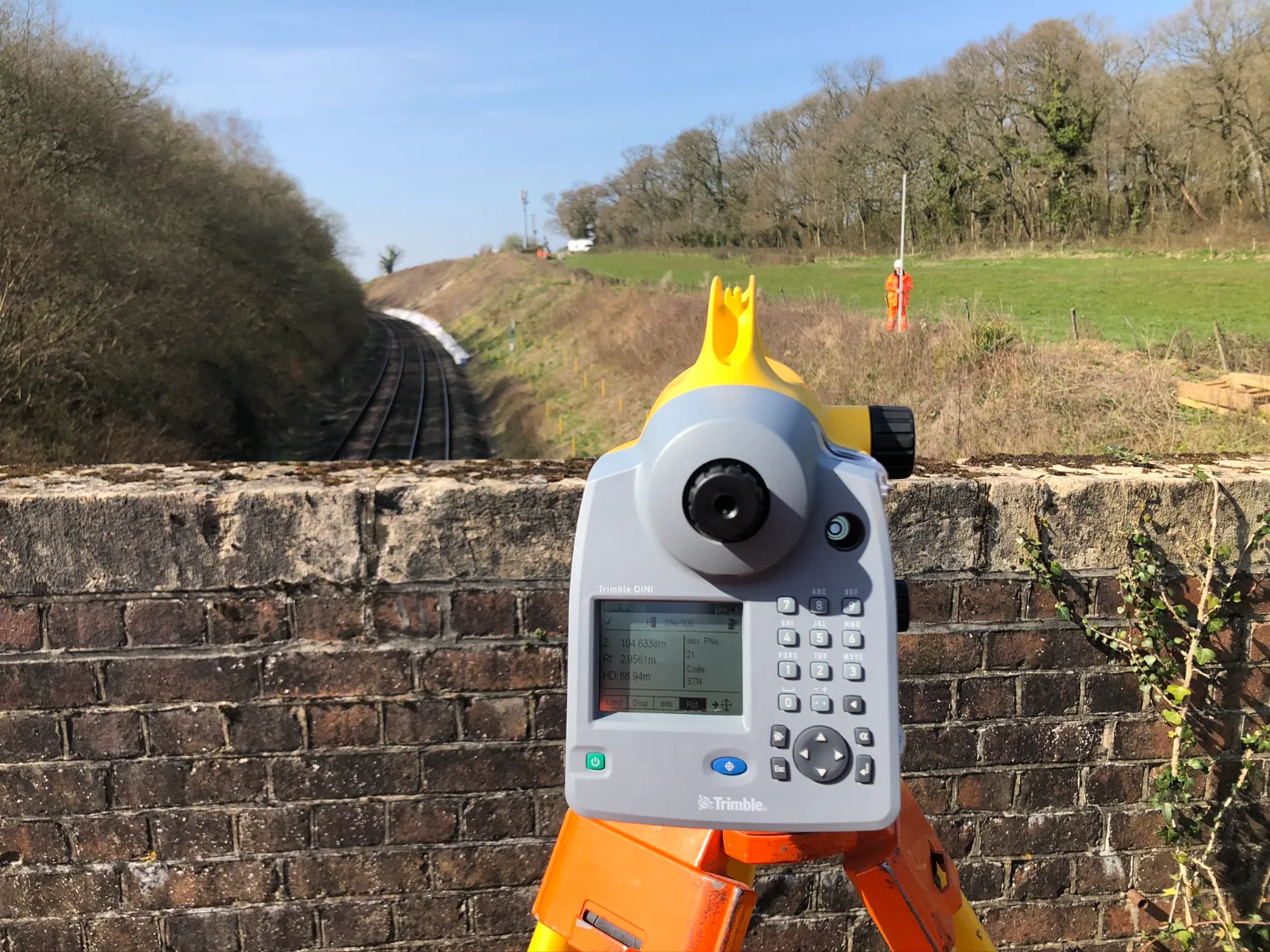
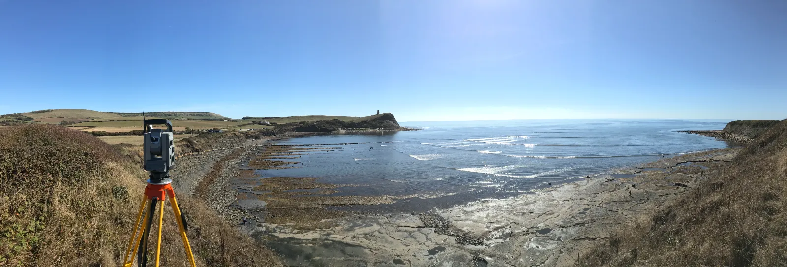
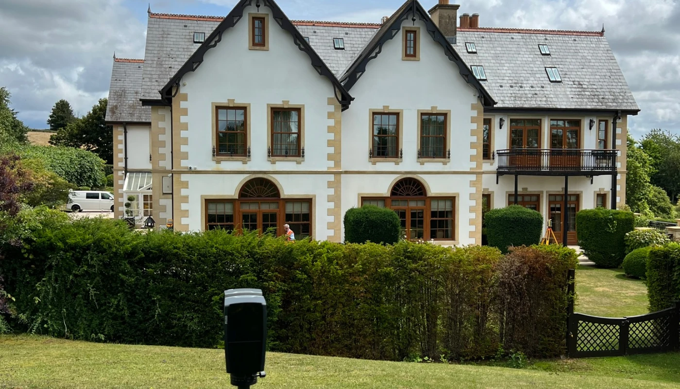
In order to carry out the survey in a single day we used 2 survey teams. One was using a conventional total station to install the survey control and scan targets. The other team used the 3d laser scanner and scanned the whole site.


Project Outcome
Using the combination of survey methods, we were able to complete the survey within the allocated timescales.
Once back at the office the surveyors used the conventional survey data and point cloud data to produce the final 3d AutoCAD dwg file.
Need to discuss a project?
In all that we do, we are committed to excellence and upholding the highest standards of professionalism, safety, and customer service.
If you have any questions about our services, please get in touch with us today on 01202 301012 or complete our contact form.