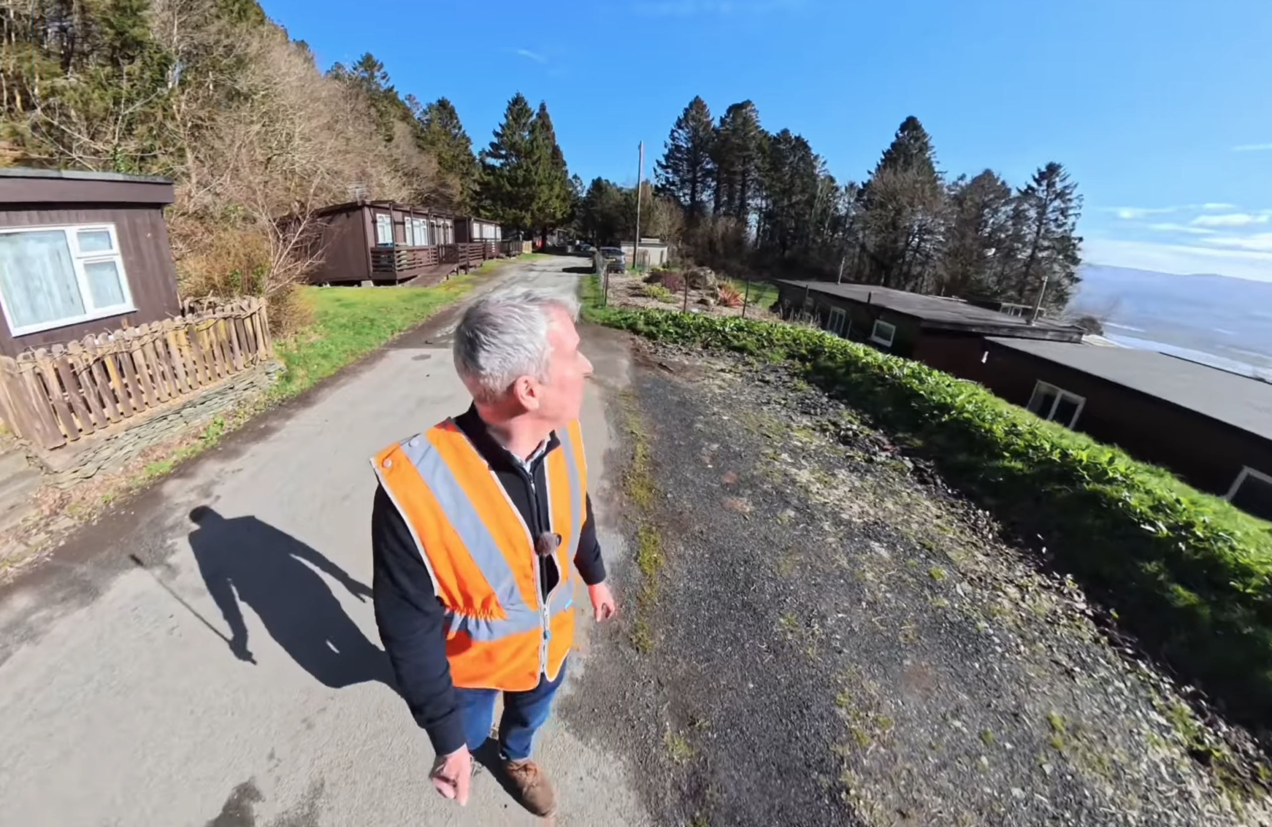
Coastal Cliff Drone & LiDAR Survey in Aberdovey, Gwynedd
Project Details
Survey Type:
Drone & LiDAR
Client:
Commercial Client
Location:
Aberdyfi, Gwynedd, Wales
Year:
2026
Project Brief
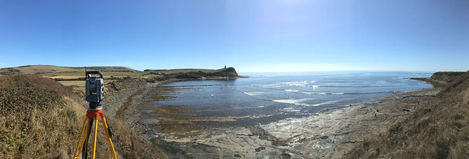
Our team was appointed to capture a full drone survey of a coastal cliff face at Aberdyfi on the Gwynedd coast. The cliff is steep, unstable in places and sits directly above a public area, so getting surveyors onto the face itself was never going to be safe or practical.
Traditional access would have meant rope teams, scaffold or long road closures, and even then the coverage would have been patchy. The client needed a complete, measurable record of the whole cliff face that could be used for design work, condition assessment and future comparison – all captured in a single visit, without putting anyone on the rock and without shutting the area down for days.
Project Overview
We planned the job around three separate drone flights, each doing a different job, so nothing was missed. The first was a coastal LiDAR mission. LiDAR fires pulses of light at the surface and measures how long they take to bounce back, which builds a dense cloud of measured points. It works well on a cliff because it picks up the shape of the rock even where vegetation, shadow or overhangs would confuse a camera on its own.
The second flight was a mapping mission, flown in a controlled grid pattern to give us the overlapping imagery needed for photogrammetry and to tie the whole survey together geometrically. The third was a dedicated photographic mission, capturing high-resolution stills of the face for visual reference and for draping onto the finished model.
Flights were flown at roughly 25 to 30 metres from the face, close enough for real detail but far enough to keep a safe distance from the rock. We deliberately flew wide on some passes to make sure the full extent of the cliff was covered, including the sections that fall away at either end.
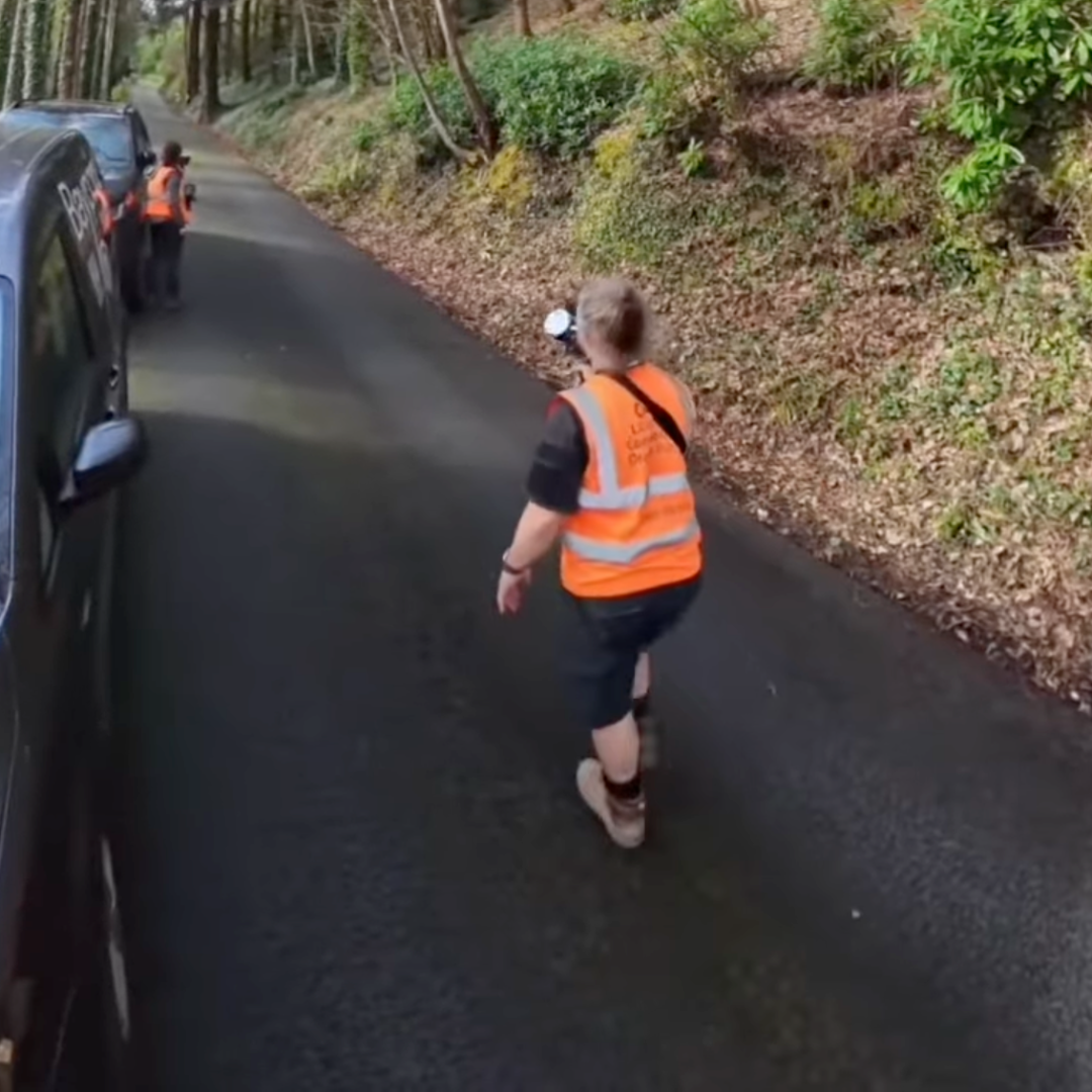
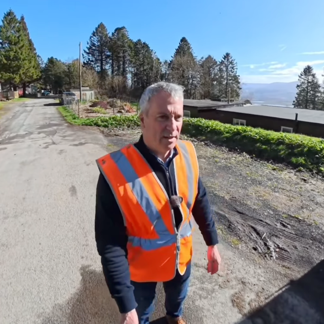
Ground control was picked up alongside the aerial work using laser scanning, so everything could be brought onto a single coordinate system rather than floating on its own. Before any of it started, the working area was cordoned off to keep the public clear of the take-off and landing zone and to protect the survey team on the ground. The whole site was captured, packed down and the area handed back the same day.


Project Outcome
The data was brought back to our office and processed into a set of deliverables the client could actually work from. We produced a 2D elevation of the full cliff face, giving a flat, scaled drawing of the whole thing that can be marked up and measured directly.
Alongside that, we cut a series of long transects through the face, showing the profile and how far the rock steps in and out at different points – the kind of information you need for stability work or for designing anything that has to sit against the cliff.
Finally, we delivered a full 3D model of the cliff, built from the combined LiDAR and photographic data, so the client can view the face from any angle and take measurements from it at any time without going back to site.
The real value here is that a location which is genuinely hard to reach has now been recorded to survey accuracy in a single day, with no one working at height and no lengthy disruption to the public. Because the survey is tied to a fixed coordinate system, it also gives the client a baseline. If the cliff is re-flown in future, the two datasets can be compared to show exactly where and how much movement or erosion has happened.
Our team stayed locally overnight and returned to the area to continue work at Barmouth the following week.
Need to discuss a project?
In all that we do, we are committed to excellence and upholding the highest standards of professionalism, safety, and customer service.
If you have any questions about our services, please get in touch with us today on 01202 301012 or complete our contact form.