Monitoring Survey in Kimmeridge
Project Details
Survey Type:
Monitoring Survey
Client:
Commercial Client
Location:
Kimmeridge, Dorset
Year:
2018
Client Brief
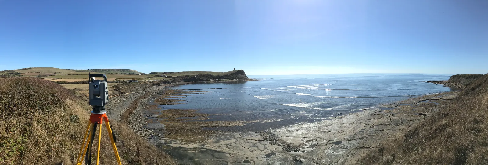
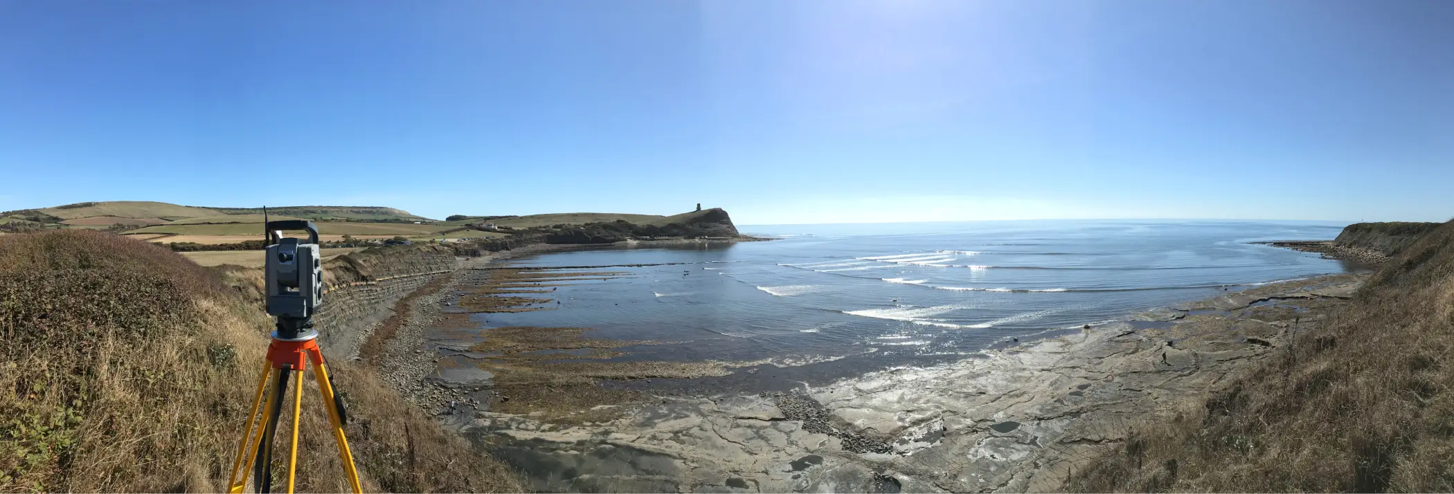
Coastal Erosion Monitoring – Our client asked us for a solution to assess the erosion of the cliffs.
Delivery & Method
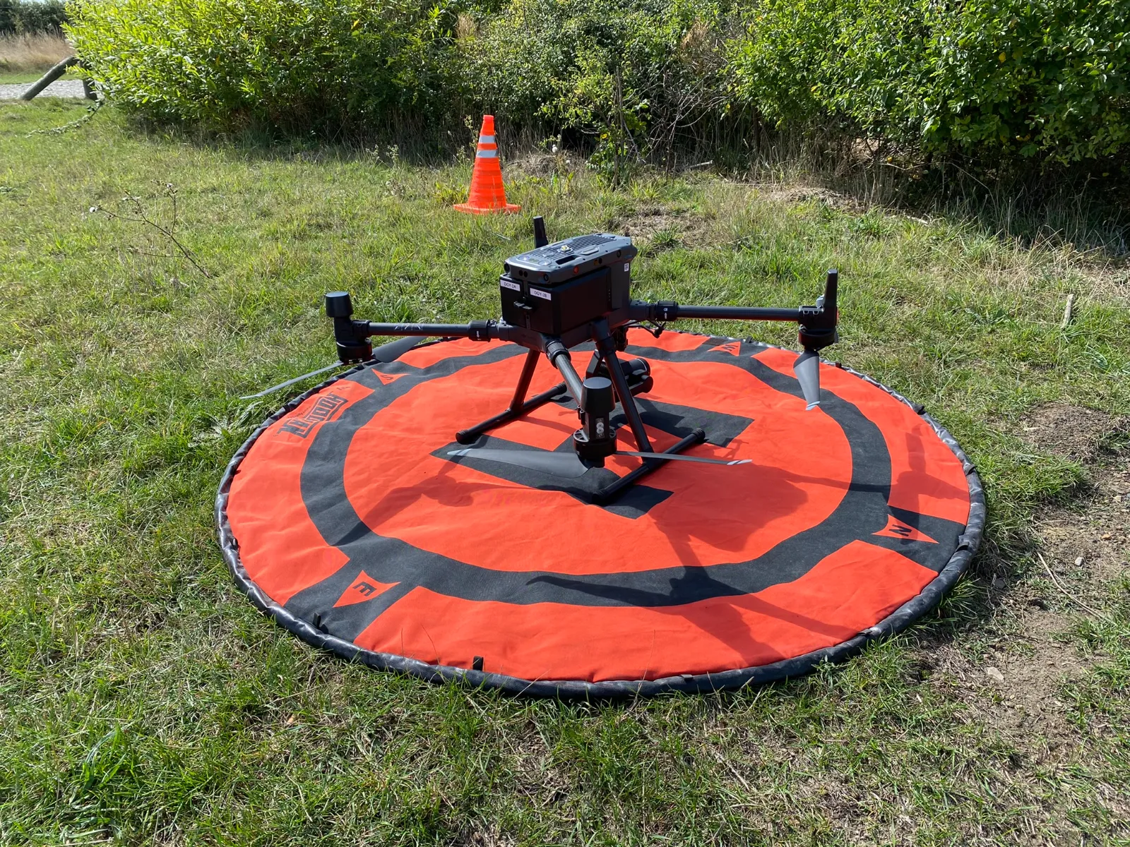
We initially started back in 2018 using terrestrial laser scanners to survey the area of the well site and the cliff faces, from the foreshore. Following the initial survey, we returned annually to carry out subsequent surveys. Using leading edge Point Cloud Comparison software, we were able to create Cross Section and Heat maps showing areas of erosion. Since 2022 we have been using our drone teams to undertake the surveys. The data can now be delivered as 2d plans and a 3d aerial visual hosted on the NIRA Platform.

Project Outcome
From our survey data our client can now make a better assessment of the erosion rates along the cliffs.
Need to discuss a project?
In all that we do, we are committed to excellence and upholding the highest standards of professionalism, safety, and customer service.
If you have any questions about our services, please get in touch with us today on 01202 301012 or complete our contact form.
Get in Touch