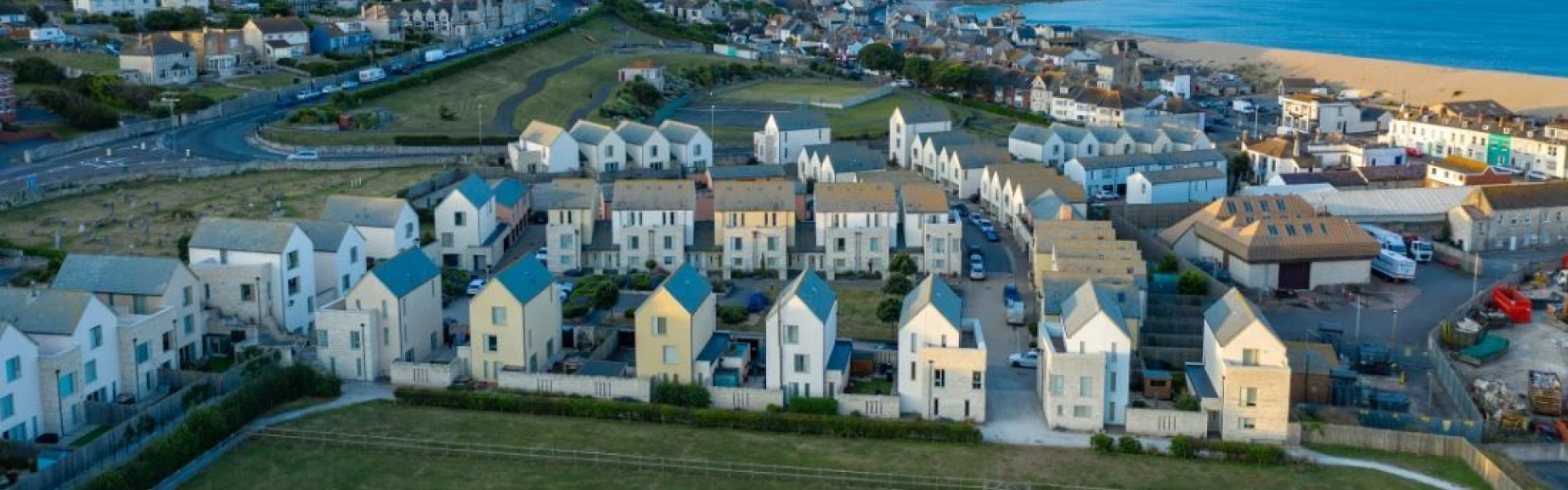
Topographical Survey in Cerne Abbas, Dorset
Project Details
Survey Type:
Topographical Survey
Client:
Residential Client
Location:
Cerne Abbas, Dorset
Year:
2024

Client Brief
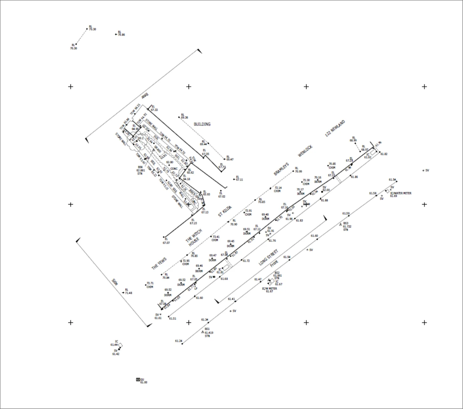
The original brief from the client was to prepare survey plans of the existing site and building to support the planning process for a renovation project on a thatched cottage.
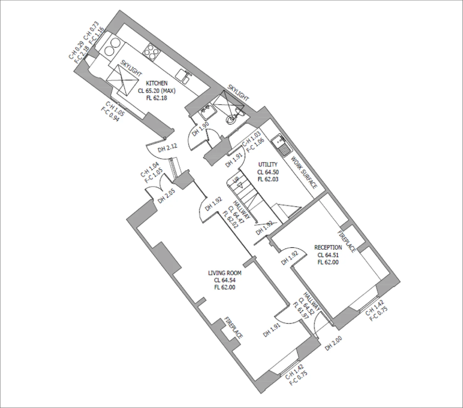
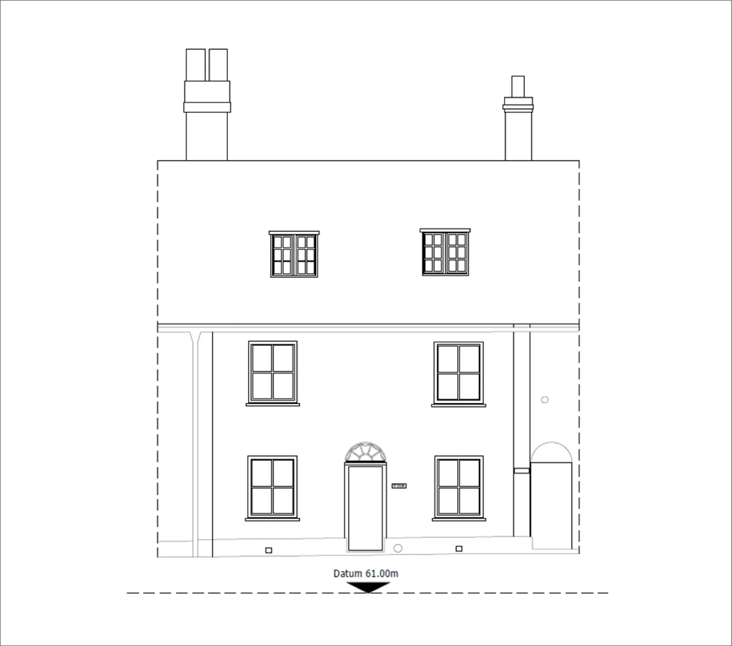
To assist the architect in developing a detailed planning application, a Topographical/Land survey, along with elevations and floorplans, was required.
Delivery & Method
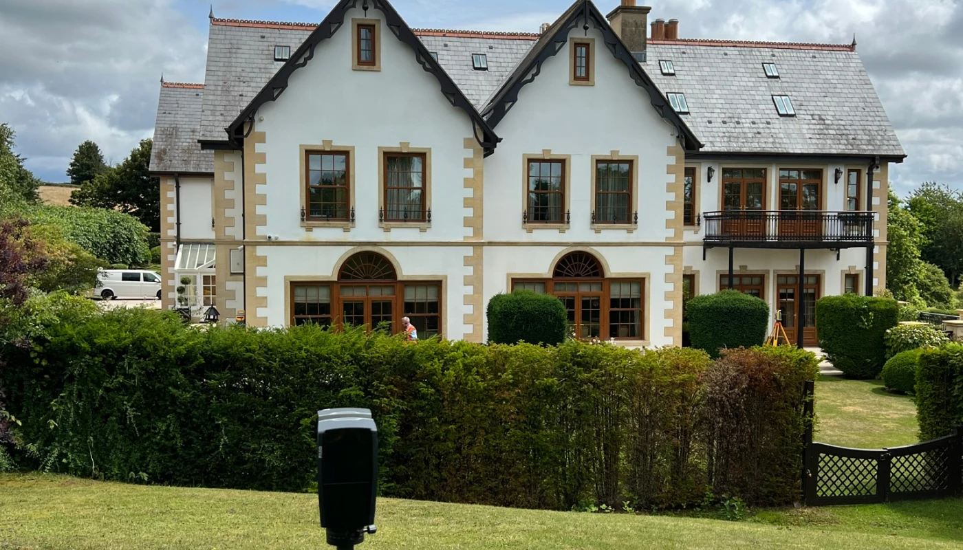
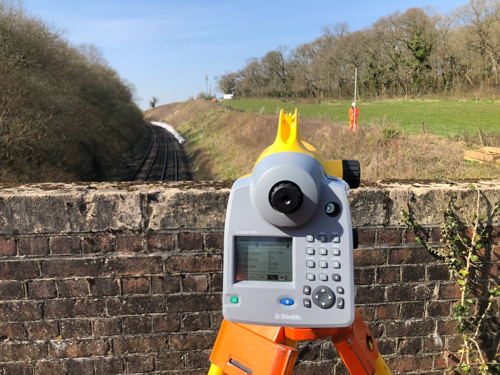
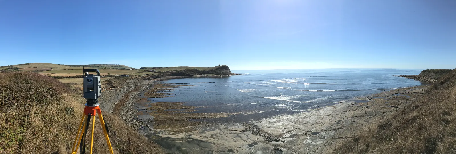
The Topographical Survey was conducted using a Robotic Trimble VX Total Station. The collected data was downloaded and processed through Carlson Survey software to generate preliminary survey plans. These were then refined by our CAD ream into detailed drawings, ready for the architect.
Due to the complex nature of the building facades, the Faro S350 Laser Scanner was used for scanning both the interior and exterior. This advanced instrument captures 1 million points per second, ensuring high precision.
Project Outcome
The scan data was processed back at the office to create rectified images. From these, the CAD team developed detailed elevations for the property culminating in the final street scene layout.

Need to discuss a project?
In all that we do, we are committed to excellence and upholding the highest standards of professionalism, safety, and customer service.
If you have any questions about our services, please get in touch with us today on 01202 301012 or complete our contact form.